|
| |
lscgid: execve():/home/metatropo/public_html/tnab/../cgi-bin/log2.cgi: No such file or directory
Back to list of TNAB hikesMount Defiance,
Mason Lake TNAB Hike
via Old Mason Lake Trail
(near Snoqualmie pass, Washington State)
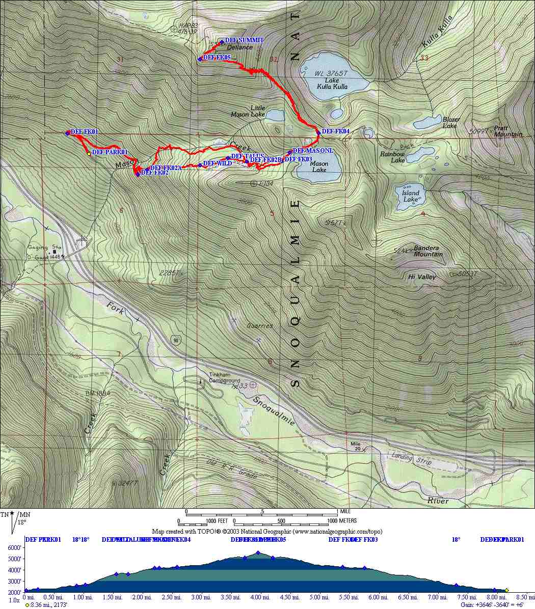
GPS Data: Map, Track, Waypoints
Click here for TOPO.EXE v3.4.3 TPO file.
Click here for Garmin MAPSOURCE v4.13 MPS file.
Click
here
for a zip file of the MAPSOURCE.EXE text file export of waypoints, descriptions and trackpoints.
TNAB Hikes are not for the
faint of heart. During the season we meet every Thursday in the Eastgate parking
lot at 5pm. We hike fast. We hike in the rain. We hike in the snow. We hike in
the dark. We don't always follow the beaten path. If you want to join us, click
TNAB.
click map to see larger version
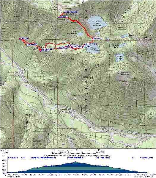
click map to see larger version
Driving directions: to the Ira spring trailhead.
Drive I-90 east to exit 45, turn left, go (north) under the freeway
to Forest Service Road No. 9030. After about a half-mile the road forks
right to the Talapus Lake/Pratt Lake trailhead. Stay straight another three
miles
on F.S. #9031 to the Ira Spring Trail trailhead #1038 and parking area.
Hiking directions:
Hike from the Ira Spring trailhead (2280 feet) about 1 mile (2600 ft), a little
past the small waterfall where the trail
crosses Mason Creek. Here the "old Mason Lake trail" forks a sharp left. The
forest service in it's wisdom has decommissioned this trail and done some work
to
camouflage this spot. Don't be fooled ! This is a great trail too - shaded,
nearly
all the way to Mason lake, following a pine needle path occasionally near Mason
creek.
Check it out! So, take the fork to the left onto the old trail and follow it up
switchbacks. After not too far (a 1/4 mile to 2850 ft) you'll have a choice. It's easy to miss but
there's
a fork to the right. It looks like it's just going to cut the switchbacks but in
fact this is the "high road" variation. It goes straight up a dusty gully to
gain a ridge and never bothers with any wimpy switchbacks. (see "high road"
directions below). If you continue on the "low road" (the suggested route),
you'll
wind through thickly mossed forest eventually reach and follow Mason creek
steeply
uphill. After another mile you'll find the base of a talus field (3640 ft) filled with
BIG boulders. You can boulder hop here or skirt the left edge of the talus on a
hard to follow path. The path and the boulder hopping converge again at the
very top left corner of the field. Here the trail becomes easy to follow and
heads
straight up. After about a third of a mile you hit the Ira Spring trail. Go left and in a
short
distance be greeted by beautiful Mason lake (approx 4180 ft). Rest, cool off,
stop for a dip!
Then continue. A sign directs you on the "main trail" left and up a set of stone
steps.
A bit later is an unmarked trail to the left guarded by basketball sized rocks.
It's easy to miss but don't go that way. It leads to a wet, flat area. Just stay
on the main drag. Again in a short distance, the main drag turns left and a
trail
forks right to continue around the lake. This is kind of overgrown and easy to
miss
too, but you just stay on the main trail going left. The path climbs to top of
knoll where it flattens and then joins a major intersection. Left to Defiance
on trail 1009. (Right to Pratt and Island lakes). The trail continues through
big forest with a few enticing views to lakes and mountains off to the right.
At about 1 mile from the lake the trail opens onto and crosses a giant meadow. If
you're
lucky enough to be here at the right time of year it will be full of
wildflowers.
If not you'll just have to make do with awesome views of Rainier, McClellans
Butte,
I-90 and all parts south. The trail traverses under the summit to an obvious
fork.
Go up and in another 10 minutes you are on the top (5580 feet).
"High road" variation: Find the "high road" per the directions above and follow
it
until you reach the big boulder field. This is a little tricky, as there are
two other boulder fields that precede it. The trail continues past the first two
and pretty much ends at a large cairn by the third. Guide books tell you to
follow cairns across the talus field but these days there are none. The
directions
are simple enough: cross the field and head up to the very top. You rejoin the
main trail in the very upper left corner.
|